
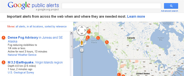
Last year when the massive tsunami struck the northeastern coastline of Japan, phone lines were down and people couldn’t get the information or help that they needed. As a result they turned to the Internet to collect and share emergency information. On their mobile phones, they communicated through Twitter, watched the news, and made sure their family and friends were safe. We saw how critical technology was in times of crisis and the Google Crisis Response team was established by Google.org to make emergency information more accessible during natural and humanitarian disasters through tools like Google Maps and Google Person Finder. This week, they launched tsunami alerts for Public Alerts, which was developed to bring emergency alerts to users.
To start, they will provide tsunami alerts for the U.S. and Canada and will roll out to other areas in the coming months. Tsunami alerts will also be accessible on Google Maps.
The feature was made possible with collaboration from the US National Oceanic and Atmospheric Administration. Google has integrated data from their West Coast and Alaska Tsunami Warning Center and are planning to integrate the Pacific Tsunami Warning Center data as well.
The details page for tsunamis will typically include the following information:
- A map of the affected area, and any locations affected.
- The date and time that the alert was issued.
- The estimated arrival times and the estimated height of the waves.
- Any action that authoritative sources recommend you take.
For those with useful data, there are also instructions on how to make the data available through this tool. Currently, Public Alerts displays information about earthquakes and the weather.